Master Your Technique — The Basics You Need
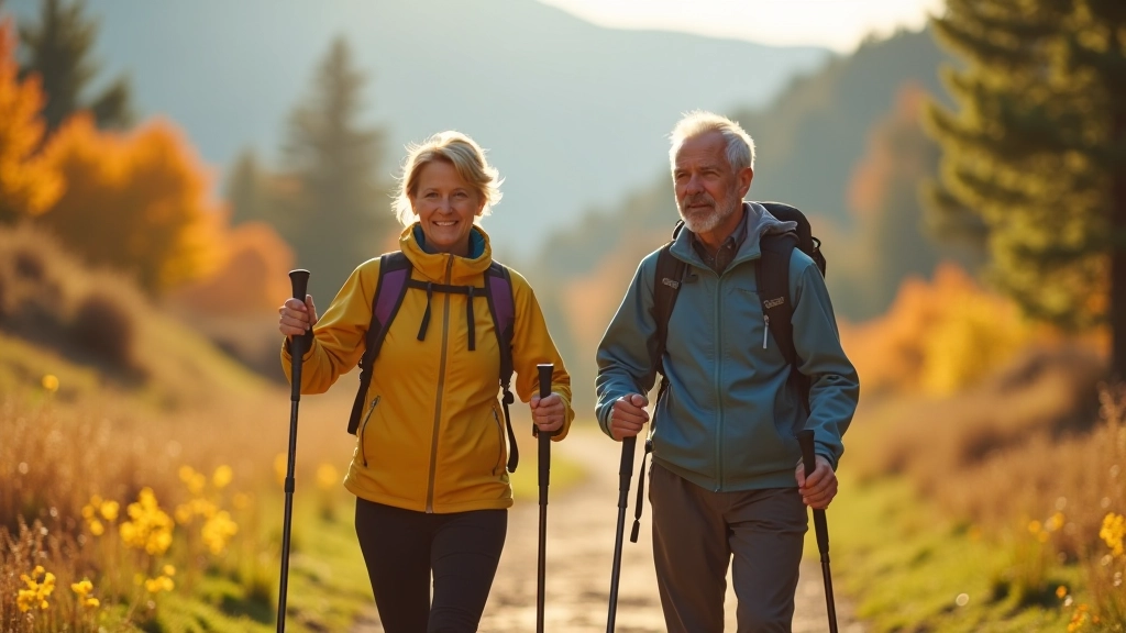
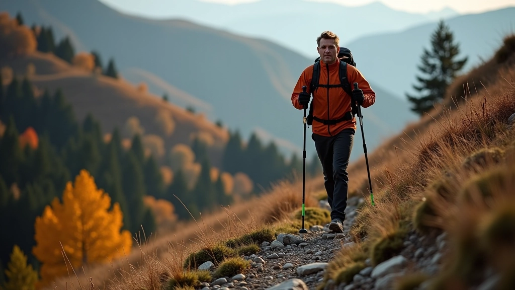
Learn correct posture, pole length selection, and walking rhythm. Most beginners miss these fundamentals and pay for it with unnecessary fatigue.
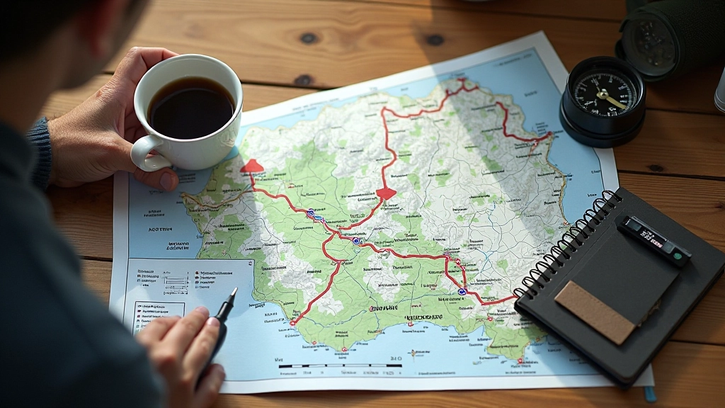
Three challenging trails through the Beskydy range with elevation changes, stunning views, and detailed maps. Best visited in spring and autumn.
The Beskydy range sits in the northeastern part of the Moravian-Silesian region, and it’s genuinely one of the best places to develop your intermediate walking skills. You’ll encounter proper elevation changes — we’re talking 300-500 meters of climb on most routes — but nothing that’ll leave you stranded. The trails are well-marked, the views are spectacular, and the local communities along the way are genuinely welcoming.
Most walkers who’ve done the basics find the Beskydy routes incredibly rewarding. You’re not fighting technical terrain, but you’re definitely building cardiovascular fitness and leg strength. Plus, the autumn colors here are absolutely worth the effort — golden birches mixed with deep green spruce create scenes that’ll make you forget about your burning calves.
This is probably the most popular intermediate route in the range, and for good reason. The loop starts in Frýdlant nad Ostravicí — a charming little town with decent parking — and heads straight uphill toward Lysá Hora, which peaks at 1,323 meters. The climb’s steep enough to keep things interesting, maybe 2.5 hours up if you’re not rushing.
What makes this route special is the descent. Rather than retracing your steps, you’ll swing around toward the Ďalešice pass and work your way down through dense forest with occasional clearings where you can actually see where you’ve come from. Total distance runs about 14 kilometers, and you’re looking at roughly 5-6 hours including breaks. The terrain’s mostly forest floor with rock sections near the top — manageable but you’ll definitely feel it in your quads.
The information provided here is educational and based on general trail conditions. Weather, seasonal changes, and trail maintenance can affect route difficulty and accessibility. Always check current trail conditions with local hiking associations before heading out, bring proper equipment, and don’t push beyond your actual fitness level. If you’re new to intermediate hiking, consider going with an experienced guide first.
If you want something with more ridge walking and genuinely dramatic views, the Šachtice route is where you’ll find it. This path hugs the ridge line for much of the journey, meaning you’re getting 360-degree vistas most of the way. You’ll start from Poruba na Beskydy and work your way up to the ridge itself, which involves maybe 400 meters of elevation gain over the first 4 kilometers — steep, but concentrated.
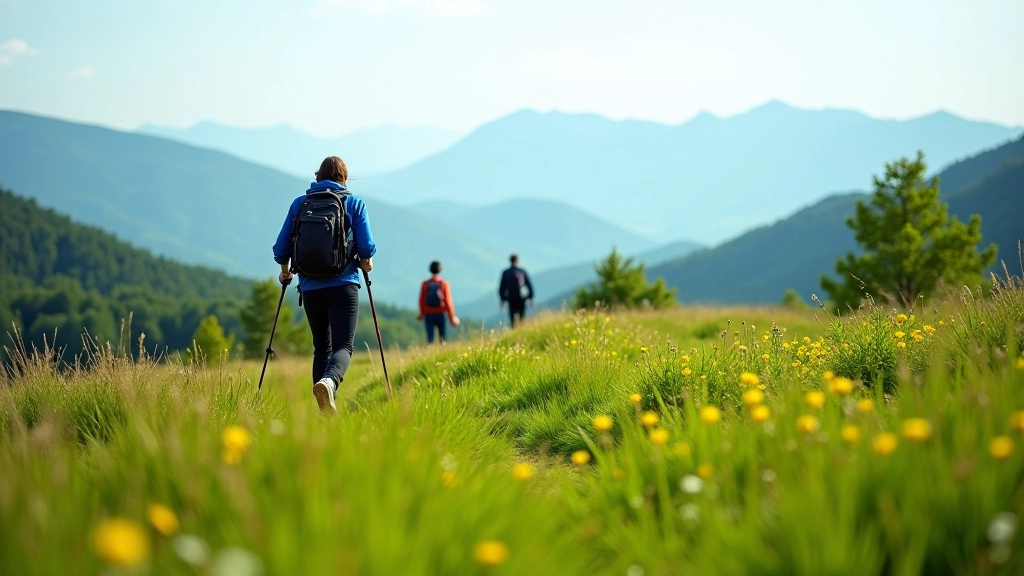
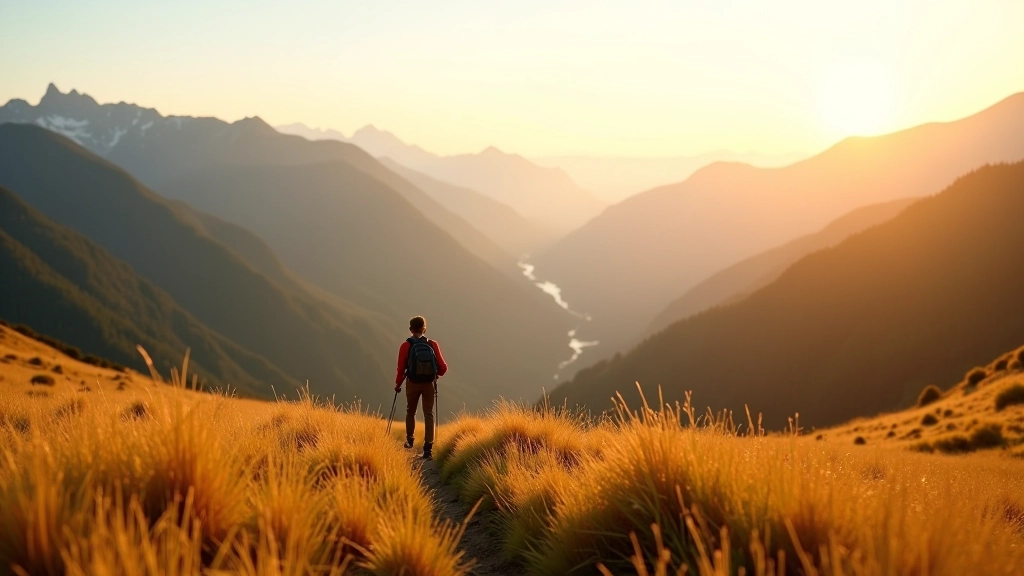
The ridge section is what you’re really after here. You’ll spend about 8 kilometers walking along the spine of the mountains, with Czech countryside falling away on both sides. On clear days you can see into Slovakia. The descent’s gentle and follows forest trails down toward Střelná, making the whole loop about 16 kilometers and roughly 6 hours total. Spring wildflowers make this route special — if you go in May or June, you’ll see patches of color that just aren’t there the rest of the year.
The third route we’re covering is more of a linear traverse than a loop, and it’s genuinely technical in places. Velká Baba stands at 1,084 meters and sits at the southern end of the range. You’ll start from Jeseník (the town, not the ridge area) and work your way north, hitting Velká Baba roughly halfway through, then continuing toward the northern end of the Beskydy proper.
This isn’t your flat-ground walk. Here’s what makes the difference between finishing strong and limping down:
The full traverse is about 18 kilometers with roughly 600 meters of elevation gain, and it’ll take you 7-8 hours depending on your pace. Most people arrange a shuttle from Jeseník to the endpoint at Kočina, which makes logistics easier. You’re not scrambling or using ropes, but there are sections where you’re stepping over rocks and occasionally using your hands for stability.
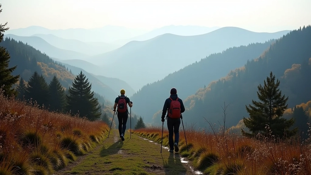
Timing matters more than people realize. Spring brings mud and swollen streams, but also wildflowers and fewer crowds. Summer means decent weather but also tourist density on popular trails. Autumn is genuinely the sweet spot — temperatures cool, visibility’s excellent, and the forest puts on a show. Winter? Possible, but you’ll need different preparation entirely.
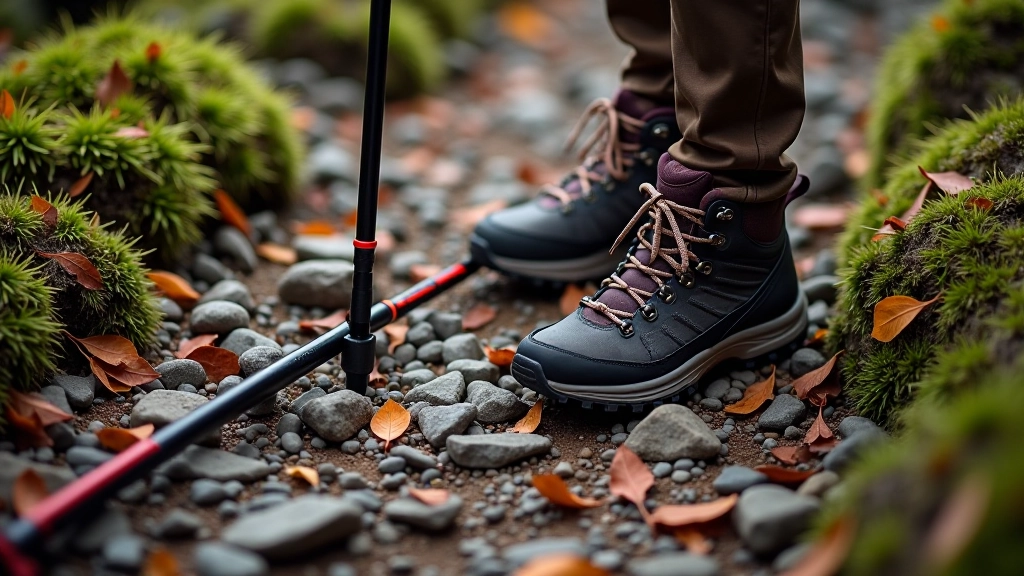
Maps aren’t optional here. The marked trails are generally good, but you’ll want a detailed topographic map or a loaded GPS app with offline capability. Phone batteries drain faster at altitude in cold weather, so bring a power bank. Start your day early — 7 or 8 AM from the trailhead means you’re finishing in daylight even in October.